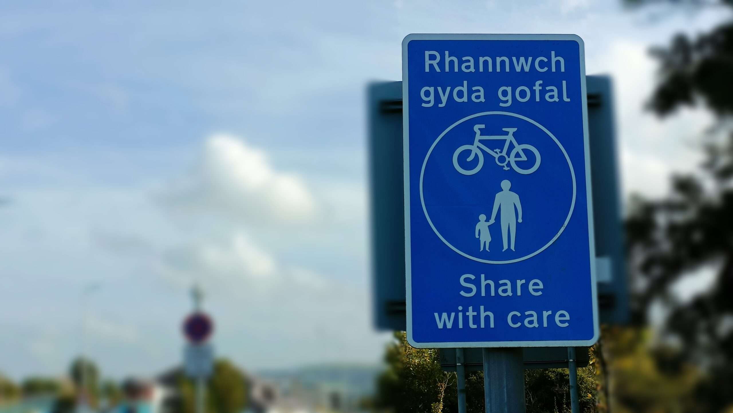
The new shared-use path will start from Pentre Road, at the northern edge of Rhydgoch Cemetery, and run in a north-east direction to Birch Rock Road and from there to Bolgoed Road, which links the town to Pontlliw.

It’ll go along the boundary of the former Bolgoed brickworks at one point, across a large water main at another, and also follow the route of an existing rear lane used by Pentre Road properties. Some trees will have to be cut down.


According to Coflein, Bolgoed brickworks was originally built in the late 19th century, there is no trace of the early brickworks on OS maps. There was a ‘Bolgoed Coal and Brick Co’ registered in 1908. It was demolished in 1913 and the present kiln built to replace it, but closed in 1916. It was re-opened in 1930, probably by the ‘Star’ group and appears to have closed soon after 1948. ‘The Star Brick and Tile Co Ltd’ of Newport belatedly registered the freehold in Aug 1966.

The planning application by Swansea Council led to five objections from people who raised a number of concerns, among them the path’s impact on the rear lane. One objector said their dog was territorial and would be disturbed by cyclists, causing “excessive barking”. Another said residents parked vehicles on the lane, including a van that’s been there for 35 years.
Privacy and security fears were also expressed, along with doubt that a new shared-use path was needed given there was a new one at nearby Coed Bach Park, and concern that off-road motorcyclists might use it.
There was also a letter of support which said the path would improve access for schoolchildren and provide a route to shops. It added: “The current overgrown land will be improved with the creation of the path, enhancing the local area’s appearance.”
Council planning officers have approved the application while imposing conditions such as a requirement for more trees to be planted than will be cut down and the submission of a contaminated land remediation strategy.
A decision report by officers said they acknowledged a new shared-use path may lead to privacy, security and quality of life worries for some people but added: “Based on the information available, it is not anticipated on balance that any perceived or unreasonable additional harm beyond the current situation would be caused by the proposed development.”
The benefits of the project, they said, were encouraging people to take fewer journeys by car and improving their health and well-being.
Pentre Road is served by another shared-use path to the south, which links Pontarddulais with Gowerton. Pontarddulais councillor Kevin Griffiths said this path and the one through Coed Bach Park were well-used by cyclists and walkers.
Referring to the latest planning decision, he said: “You’re always going to have people who approve and people who disapprove,” he said.
Discover more from Carmarthenshire News Online
Subscribe to get the latest posts sent to your email.