Carmarthenshire remains under ongoing rain warnings, with heavy and persistent rainfall continuing to affect many parts of the county. The Met Office reports that 30–50 mm of rain is likely in places, with higher totals possible over elevated terrain. With ground conditions already saturated, the likelihood of surface water flooding and challenging travel conditions remains high.
Local authorities have also cautioned residents about recent strong winds, which have already caused fallen trees and scattered debris across several rural roads.
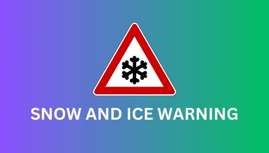
New Met Office Snow and Ice Warnings Issued
Updated Met Office guidance confirms that winter hazards will intensify mid-week, following the departure of the current rain system.

Two official warnings are now in effect for Carmarthenshire:
-
Yellow Ice Warning:
Active from midnight Wednesday until 11am, warning of widespread icy patches. Rain and light hill snow, followed by clearing skies, will allow temperatures to fall below freezing and create slippery conditions on untreated surfaces. -
Yellow Snow & Ice Warning:
Running from Wednesday midday until the end of Thursday, this alert highlights the potential for wintry showers, particularly over higher ground. While accumulations are expected to be small and localised, even light snowfall combined with freezing temperatures may lead to persistent icy patches.

Met Office regional guidance for Wales notes that snow and ice will be the primary weather hazards through Thursday.
Ice Risk Expected to Peak Mid-Week
Temperatures are forecast to fall sharply across Carmarthenshire mid-week, with overnight lows dipping to –1°C to –2°C on Wednesday and Thursday nights. This creates a heightened risk of frost and black ice, even where only light precipitation has occurred.
Icy conditions are most likely:
-
After rain or light snow that freezes overnight
-
On rural or untreated roads and pavements
-
On higher routes, bridges and exposed areas
Council Response and Public Advice
Carmarthenshire County Council states that winter service teams will pre-salt priority routes as temperatures drop, supported by real-time data from 13 local weather monitoring stations. Gritting crews remain on standby throughout the cold period.
Residents are encouraged to:
-
Drive cautiously and allow extra time for morning travel
-
Check for local travel, gritting, or flood updates
-
Report flooding, fallen trees, or ice hazards to the council
-
Monitor Met Office alerts for any further updates
Outlook: Wintry Hazards the Main Concern
Although heavy rain continues to pose short-term challenges, the primary focus for mid-week shifts to light snow and ice, particularly from Wednesday into Thursday. While disruption is expected to be limited, slippery conditions may still affect travel, especially on elevated or untreated routes.
If you’d like, I can also produce a shorter bulletin-style version, a radio script, or a more formal news release.
Discover more from Carmarthenshire News Online
Subscribe to get the latest posts sent to your email.