THE Welsh and Scottish Gaelic languages will be showcased together in a brand-new map designed to promote the Slow Ways walking network across Britain.
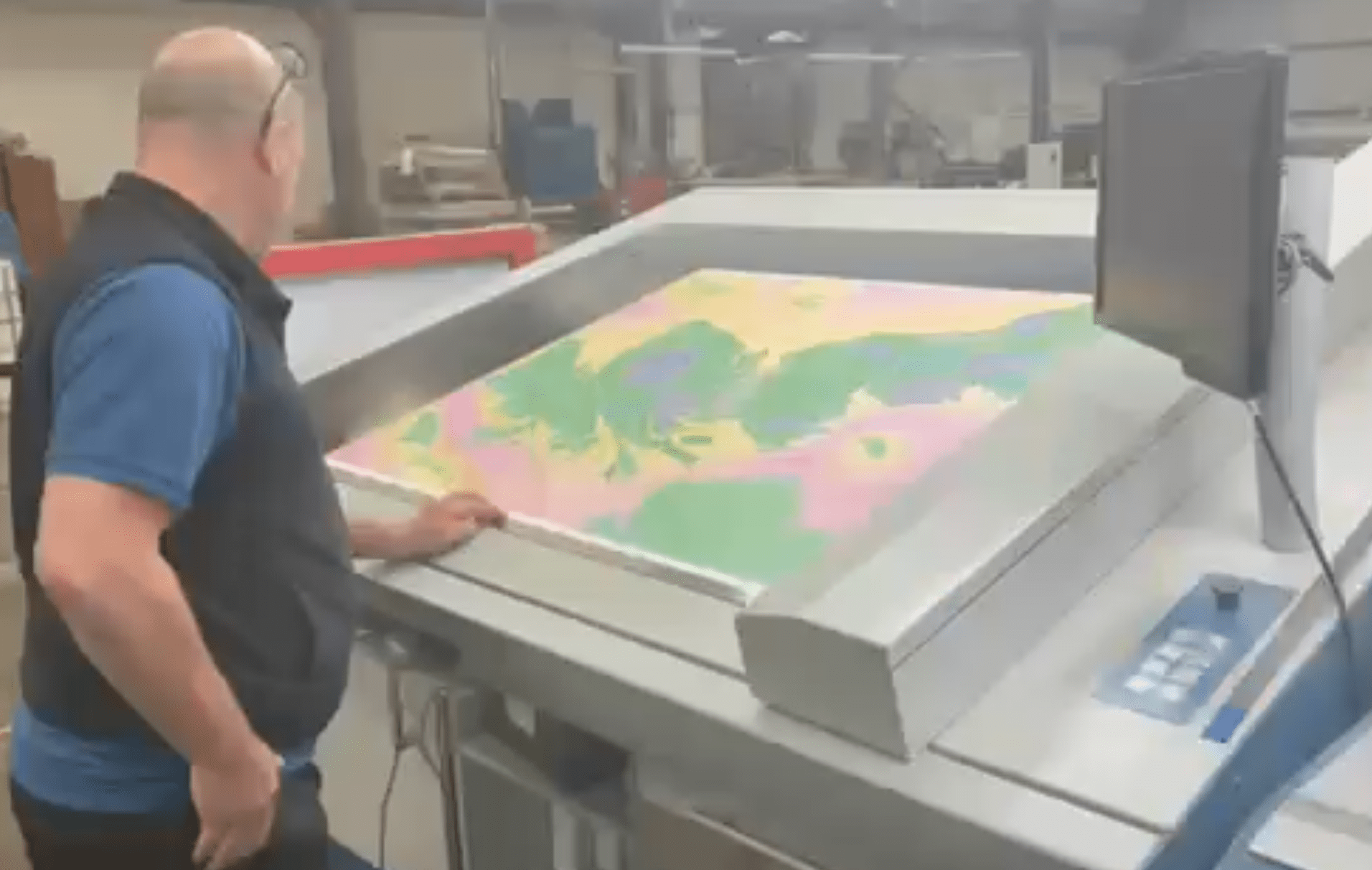
Printing the maps at Dennis Maps
This is the most comprehensive contemporary map of Welsh and Gaelic place names across Wales and Scotland, and England where the names are known. Created by Slow Ways, the map aims to recognise the stories behind each name and their connection to local heritage and the surrounding landscape.
Slow Ways was established during the lockdown of 2020. Today it is a network which connects 2500 communities with their neighbours, by identifying the most direct and enjoyable walking routes. The objective is to enable people to explore and discover their surroundings in a slower more thoughtful way that walking or wheeling allows.
The network is created by people who walk and check the routes across Britain every day. And thanks to the efforts of thousands of volunteers there are now around 120,000Km of mapped paths within the network. As a crowd-sourced, community-verified resource, it was felt that it was important to reflect local understanding of the land, this meant using the original native place names, preserving the connection to the local environment.


Hannah Engelkamp is the culture lead at Slow Ways, she said: “We’re thrilled to be unveiling our new map this week and believe it’s the most extensive network of routes to be published in both these languages together. We’ve worked with the Welsh Language Commissioner and Ainmean-Àite na h-Alba (Gaelic Place Names of Scotland) to make sure we get it right and that we’re true to local use of the names.
“For a long time, there’s been a trend of changing and losing original place names but more recently there does seem to be an indication that things might be shifting, with a newfound confidence in embracing our heritage and local names. Our work contributes to this, helping people find their way in their language of choice.
“The network is dependent on grassroots efforts and the knowledge people have about their own communities. So, as well as reflecting our mission as an organisation, it was natural for us to publish these maps in Welsh and Gaelic. It is right that the names on the maps reflect the diversity of the three countries of Britain.”
The launch coincides with the Slow Ways Summer Waycheck between 16th on the 25th of June. Taking its inspiration from the old ‘beating the bounds’ tradition, when people would walk the boundaries of their parish – the event aims to get as many as possible to walk, run and wheel their local routes and to record them on the slowways.org website. Ultimately the goal is to connect as many places as possible with different types of routes that are accessible for as many people as possible.
Hannah explains: “During the midsummer Waycheck, we encourage individuals to explore as many Slow Ways as they can over the ten extended daylight days of midsummer. We rely on people, no matter where they are located, to walk, verify, and review routes. Once a pathway has received at least three positive reviews, it becomes an officially verified part of our national walking network.”
The new maps have been designed and produced in collaboration with Charlie Peel at Urban Good. Future versions of the map are planned which will include Scots and Cornish places names.
An edition of the map already exists using names for places as they are on OS maps.
Please donate here: Support Carmarthenshire News Online Thank you for supporting independent journalism and contributing to the future of local news in Carmarthenshire. Carmarthenshire News Online has been dedicated to providing unbiased and trustworthy news, free from commercial or political influence. By donating as little as £1, you can help ensure the continuation of this important source of information for the community. Your contribution will have a significant impact on the sustainability of independent journalism. If you're looking to enhance your brand's visibility, we also offer advertising opportunities on our Livestream and podcasts. Our special offers provide excellent value for reaching our engaged audience. To learn more about these opportunities and to discuss your advertising needs, please feel free to call or text us at 07308598604. Thank you again for your support, and together we can ensure the availability of quality local news for Carmarthenshire and beyond.
Please donate here: Support Carmarthenshire News Online


